
I've been a marathon walker since 2004. Subsequently I became aware of long distance trail walking (sometimes called trekking or tramping) around the world and ever since have been intrigued by the possibility of combining travel and walking. Long distance trails vary widely - some are in remote and mountainous areas, others are more rural and run through farming areas to link villages, and some run right through major cities.
Early research into Venlo brought to my attention the Pieterpad, a 485 km (301 mile) trail that stretches from Pieterburen in the extreme north of the country to Sint Pietersberg in the far south. The trail happens to run right through Venlo, so it seemed like the perfect choice to begin my European walking adventures.
The trail guide is in two volumes each costing €25, and is available only in Dutch, so I have been reluctant to buy it. For the trial walk, I made notes from a map I found online and hoped for the best. Fortunately I found the trail is very well marked using an international trail marking system. One red and white stripe pair means "this way". There's an example of this in the picture at the top. They are mostly pretty easy to spot, but sometimes not:

A double pair of red and white stripes means "prepare to change direction":

The third (and last) trail mark means "wrong way":

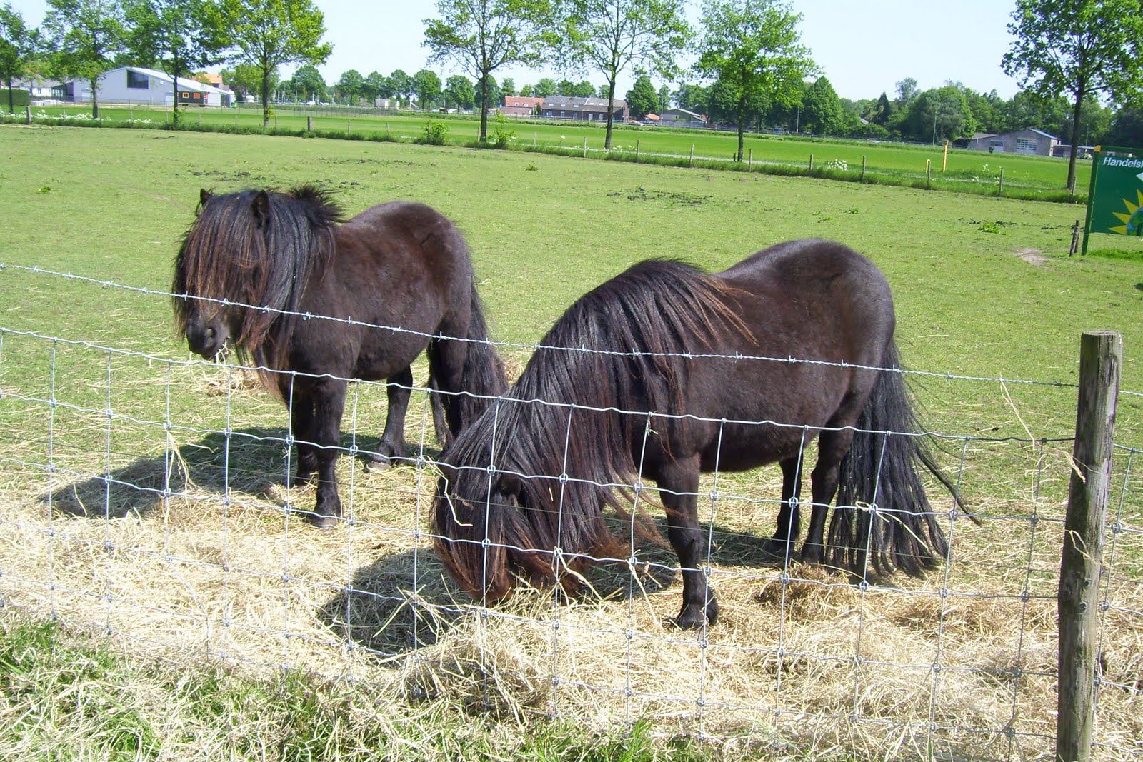
I was relieved to know the trail is quite easy to follow. As my worries about being able to follow the trail faded, I started to enjoy the sights, sounds and smells along the way. In the section I walked on this day, the trail follows the river Maas for a while, then meanders along farm fields and animal paddocks. I saw a number of horses and ponies, which seem to be ubiquitous in this region:
It's still early spring here, but campers are already starting to appear. This is a "minicamping":

Most parts of the trail are shared with other vehicles, including signed bike routes:


In the 5 km section I walked, I saw just two labeled Pieterpad signs - the one at the top and this one:

At 31 km (19 miles), the Venlo to Roermond stage of the walk is the longest. Tim joined me (by bike) for the last 3 km of my return trip. We continued into downtown Venlo, where route markings became much more frequent. We also found this sign, for a different sort of trail:

Now I'm intrigued by the idea of walking to Santiago de Compostela. So many places to go!
How fun! Sort of reminds me of our interurban trail here. (which I have yet to walk much of) Love all the pictures and descriptions.
ReplyDelete