Showing posts with label Pieterpad. Show all posts

Sunday, September 18, 2011

Operation Market Garden

Along the Liberation Route
My wanderings the last month or so have led me to ponder the lessons of history. In the last four weeks I've seen the concentration camp at Dachau, the Nazi party rally grounds at Nuremburg, and several Dutch memorials.

Fall weather and a return to a somewhat normal routine allowed me to resume my traverse of the Pieterpad. So I spent a lovely fall day walking from Groesbeek to Millingen aan de Rijn, towns so small I'm surprised they have Wikipedia entries. Readers who happen to be World War II buffs (if there are any) might recognize their names from the airborne expedition known as Operation Market Garden. Yes, Virginia, this post is (mostly) about a military operation.

In a nutshell: Operation Market Garden was an effort by the Allies in September 1944 to use airborne troops to seize a series of bridges across the rivers Meuse and Rhine, to enable a rapid Allied armored advance into the German heartland. Spoiler alert! The plan didn't work; the airborne troops suffered heavy losses, some were evacuated, and the remainder were taken prisoner. Arnhem, the plan's final bridge, wasn't liberated until April 1945.

Recalling these facts is one thing; stumbling across a sign marking the "Airbornepad" [a walking path which according to its website follows "the footsteps of the liberators"] during the anniversary week of Operation Market Garden is something else. As it happens, I also drove to Arnhem this week, and as I crossed the John Frost Bridge, I remembered its predecessor's role in history. Places so often evoke feelings ... which brings me to this post's destination.

The very necessary Pieterpad route book (which is unfortunately only available in Dutch) mentioned a Canadian Cemetery not too far off the path, near Groesbeek. Walking a 500 kilometer path mostly alone does allow a certain amount of contemplation. This day, I chose to go a little farther in order to contemplate war, sacrifice, and the meaning of history. Let me take you there ...


Just inside this entrance is a memorial stating THEIR NAME LIVETH FOR EVERMORE. It's true:

Most of these fallen warriors were in their twenties. All were too young.

Each headstone tells a different story; the common theme is that of life cut short.

Each grave has its own garden, carefully tended by a local, grateful Nederlander

Will we ever learn?


For those of you who aren't WWII buffs, the 1977 film A Bridge Too Far does a great job of telling the story of Operation Market Garden from every side - British, American, German, Polish and Dutch. Back in 1977 war was definitely not "in". The DVD is available at my hometown library, and might be at yours too.

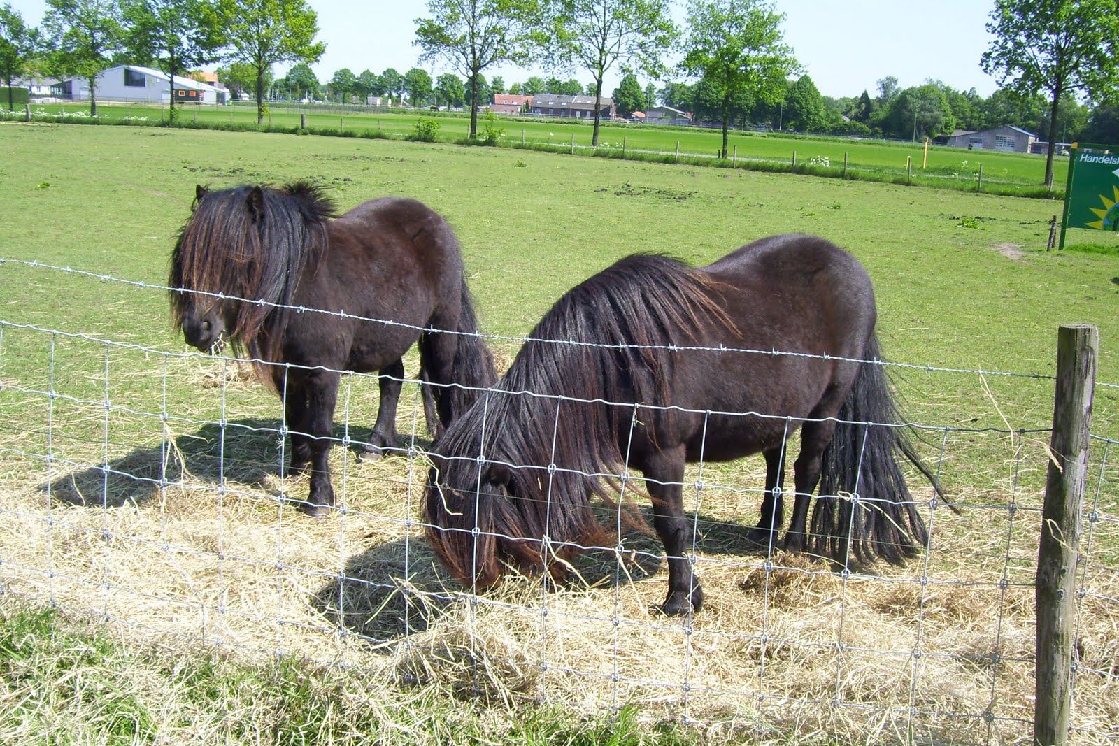
My apologies to readers who were hoping to see pictures of delectable European produce. For you, I present this shot, taken at a self-serve pumpkin stand just outside the Canadian Cemetery (seen in the background):


Tuesday, July 12, 2011

Photos from the Pieterpad

Another beautiful day on the Pieterpad, this time with lovely daughter Robin. We rambled through farm land, heaths and woods. She had the camera and I enjoyed seeing the landscape through her eyes.

In the Quin Nature Reserve
The Pieterpad guide describes the Quin as a "great fen fed by seepage water and rainGoats and Highland cattle graze. A 30 meters high river dune offers a beautiful overview. Wet heath vegetation, such as sundew, lavender, beak rush, and different kinds of amphibians."


Gennep town square
 Our walk ended in Gennep, where we enjoyed a well earned rest and cold drink.

Thanks, Robin, for a great day!

P.S. I'm behind with details of our cross-country ride but have a great reason: a visit from Bellingham friend Alex, who is on a fabulous adventure of his own. Do check out his blog - many of the photos are taken from a moving bike!

Saturday, June 18, 2011

Special Meetings

Fellow Pieterpad walkers, near Puth, NL

Walking the Pieterpad has so far been a joyous experience. I've mostly been walking alone - Tim walked one stage with me, and Robin says she will join me for a stage or two once school is out. I feel safe, even though many parts are quite rural, and others are in the woods. I have walked for hours without seeing another person, although I see plenty of birds and many farm animals, sometimes while crossing their pasture:

A friendly cow
While encounters with other people have been rare, some have been very special. The photo at the top shows three kind souls who let me tag along for much of a rainy Thursday. We huddled under a cherry tree during an intense shower, puzzled over confusing route directions, and enjoyed coffee and vlaai for a well-earned break.

Another special meeting during one of my first stages ended up in someone else's blog. Marjolein and I met in Swolgen where we finished connecting stages at about the same time - she from the north, and I from the south. The next day I met her again in Venlo as she was finishing the next stage. Turns out, Marjolein is walking the Pieterpad and then continuing to Santiago de Compostela, a pilgrimage route I mentioned in an earlier post. I am happy to see that Marjolein is doing well on her journey, and wish her succes!

This week I experienced another kind of special meeting when I enjoyed the hospitality of Panchita, Paul and Fay of Gangelt, Germany. We connected through Vrienden op de Fiets, an organization that facilitates homestay accomodation for bicycle and foot travelers (fietsers en wandelaars). Their friendly and gracious hospitality was most welcome at the end of a 34 kilometer walk, and I will long remember them with great fondness. Dank U wel for the wonderful conversation, comfortable bed, and lovely breakfast!

A breakfast to remember

Monday, May 2, 2011

Pieterpad


I've been a marathon walker since 2004. Subsequently I became aware of long distance trail walking (sometimes called trekking or tramping) around the world and ever since have been intrigued by the possibility of combining travel and walking. Long distance trails vary widely - some are in remote and mountainous areas, others are more rural and run through farming areas to link villages, and some run right through major cities.

Early research into Venlo brought to my attention the Pieterpad, a 485 km (301 mile) trail that stretches from Pieterburen in the extreme north of the country to Sint Pietersberg in the far south. The trail happens to run right through Venlo, so it seemed like the perfect choice to begin my European walking adventures.

So on a sunny May Day, I set off north from home on foot armed with a light pack and my camera. My destination was the ferry at Grubbenworst, about 5 km north of our home. Normally a trail is walked in one direction (not round trip) but since this was primarily a scouting mission I decided to walk to the ferry, then walk home again - a pleasant 10 km (6 mile) walk on a sunny Sunday.

The trail guide is in two volumes each costing 25, and is available only in Dutch, so I have been reluctant to buy it. For the trial walk, I made notes from a map I found online and hoped for the best. Fortunately I found the trail is very well marked using an international trail marking system. One red and white stripe pair means "this way". There's an example of this in the picture at the top. They are mostly pretty easy to spot, but sometimes not:


A double pair of red and white stripes means "prepare to change direction":


The third (and last) trail mark means "wrong way":


I was relieved to know the trail is quite easy to follow. As my worries about being able to follow the trail faded, I started to enjoy the sights, sounds and smells along the way. In the section I walked on this day, the trail follows the river Maas for a while, then meanders along farm fields and animal paddocks. I saw a number of horses and ponies, which seem to be ubiquitous in this region:


It's still early spring here, but campers are already starting to appear. This is a "minicamping":


Most parts of the trail are shared with other vehicles, including signed bike routes:


Conveniences are provided for trail users:


In the 5 km section I walked, I saw just two labeled Pieterpad signs - the one at the top and this one:


At 31 km (19 miles), the Venlo to Roermond stage of the walk is the longest. Tim joined me (by bike) for the last 3 km of my return trip. We continued into downtown Venlo, where route markings became much more frequent. We also found this sign, for a different sort of trail:


Now I'm intrigued by the idea of walking to Santiago de Compostela. So many places to go!